2018 verkar vara ett riktigt myrår, i alla fall om vi ska döma efter myrstackarnas storlek och antal. De är många och enorma. Vi undrar hur alla myror kan överleva i den konkurrens som måste råda mellan de olika myrstackarna.
2018 seems to be a real ant year, at least if we are to judge by the size and number of ant hills. They are many and enormous. We wonder how all ants can survive in the competition that must prevail between the various ant hills.
Två stora myrstackar mycket nära varandra. Two large ant hills very close to each other.Hur många våningar? How many floors?Manshög myrstack. Ant hill tall as a man.
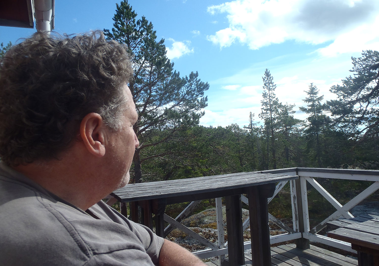
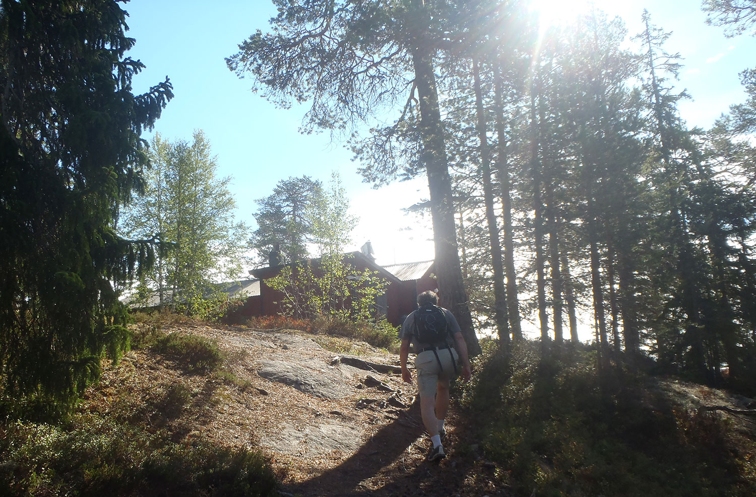
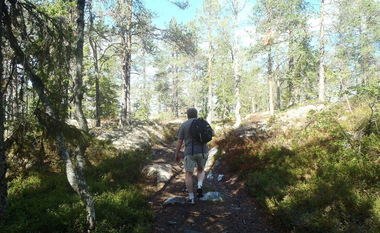
Att vi klarat av åttabergslistan betyder inte att vi lägger oss på sofflocket. Aktiv semester är det som gäller, så denna dag bar det av upp till Jättesta fäbodvall. Mest för att leta svamp. Vi hittade inga, men hade väl knappast väntat oss det heller. Först måste det nog komma en del regn. Däremot kunde vi konstatera att skogen ser väldigt ovårdad ut efter denna torra sommar.
The fact that we have gone through the eight-mountain list does not mean that we idle. Active holiday is the case, so this day we went up to Jättesta mountain pasture. Mostly to look for mushrooms. We did not find any, but did hardly expect that either. There will probably have to be some rain first. On the other hand, we could observe that the forest looks very untidy after this dry summer.
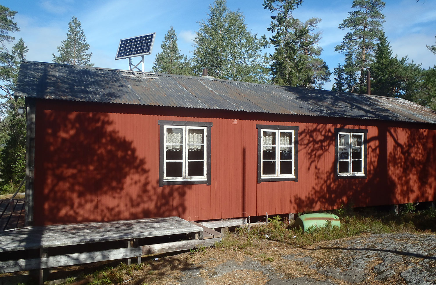
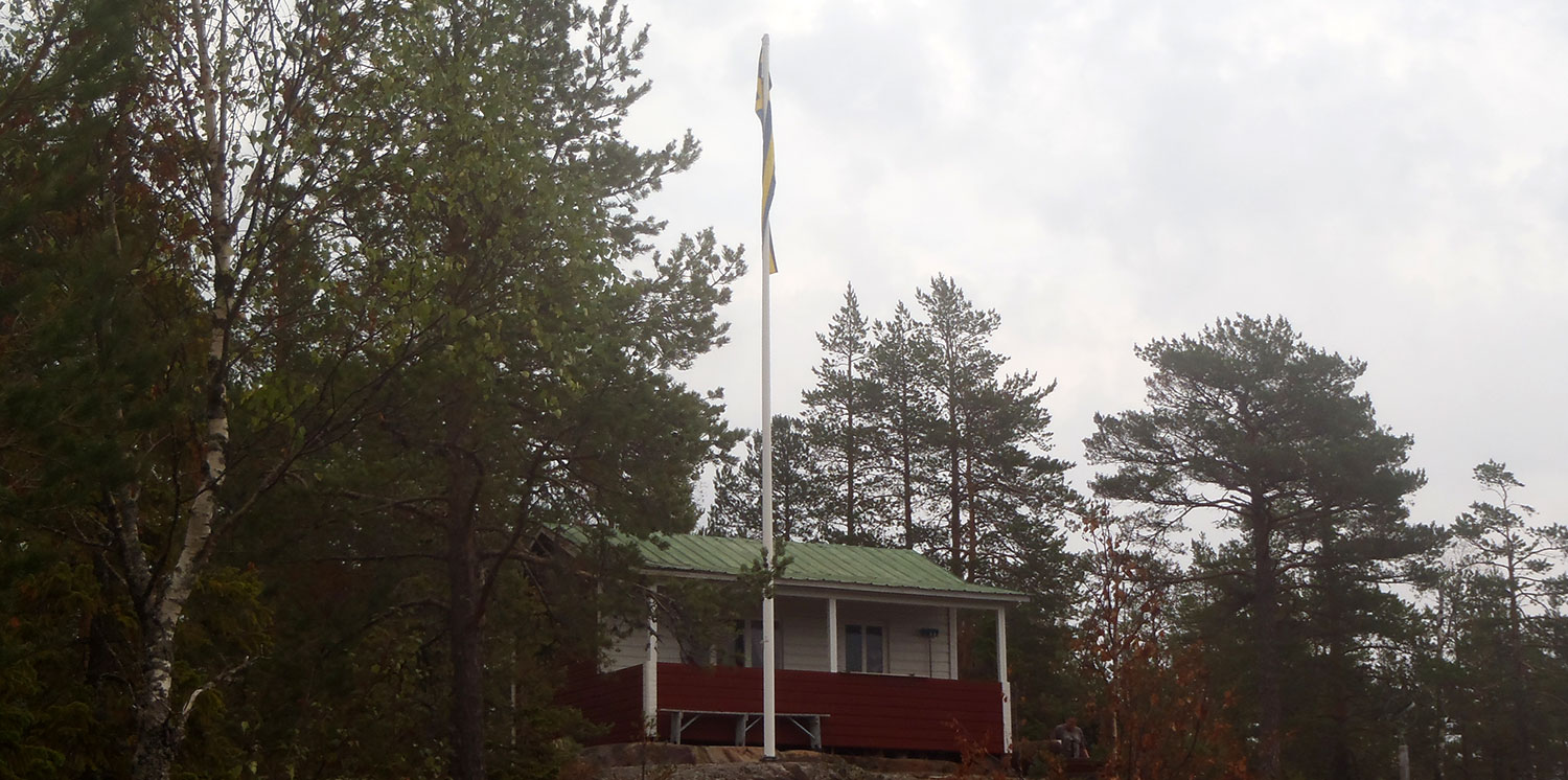
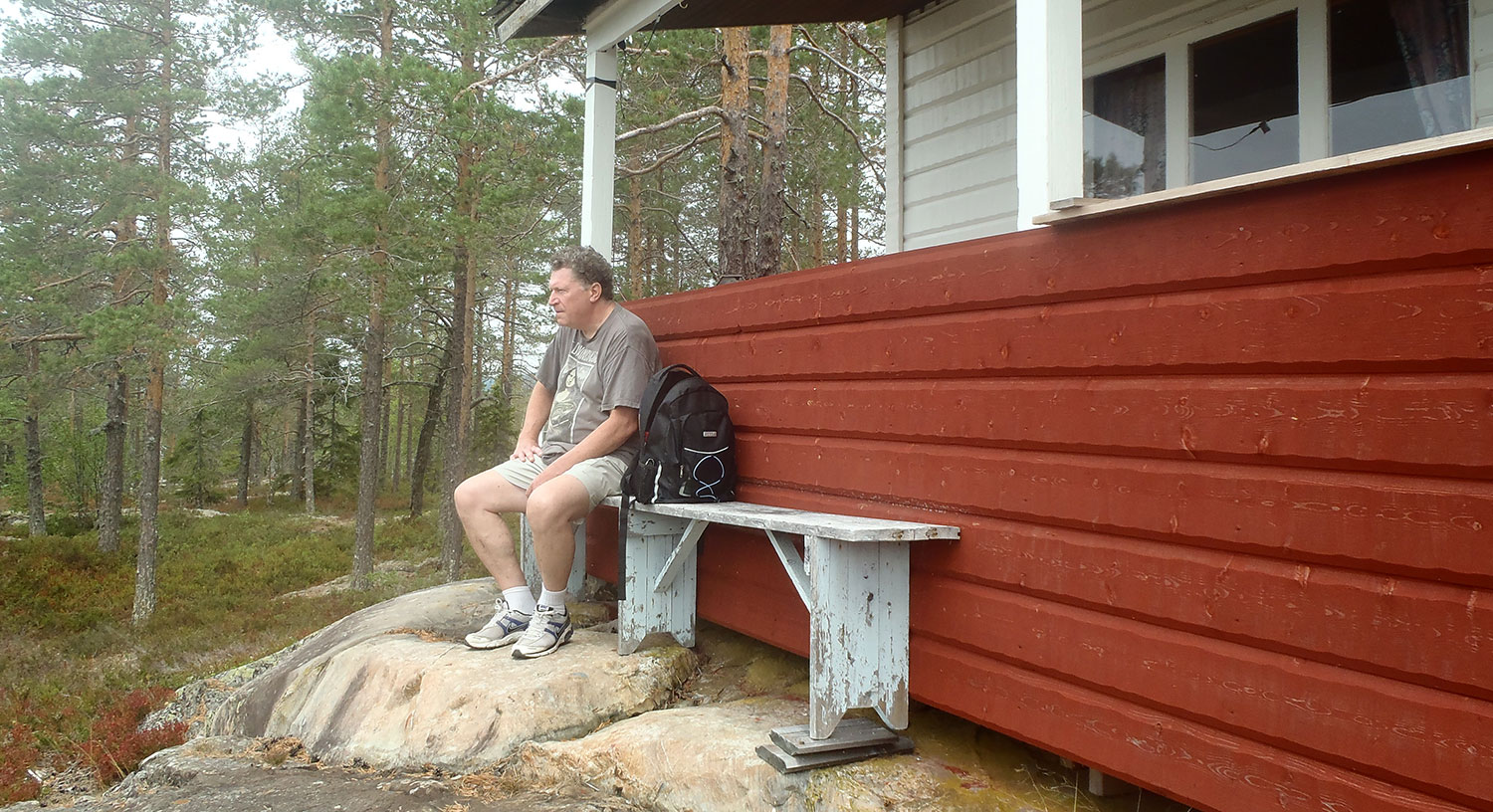
Vi har besökt Jättesta fäbodvall och den röda SGU-stugan många gånger. We have visited Jättesta mountain pasture (hill farm) many times.
Ett par kan man se/A few you can see här/here→ och/andhär/here →.
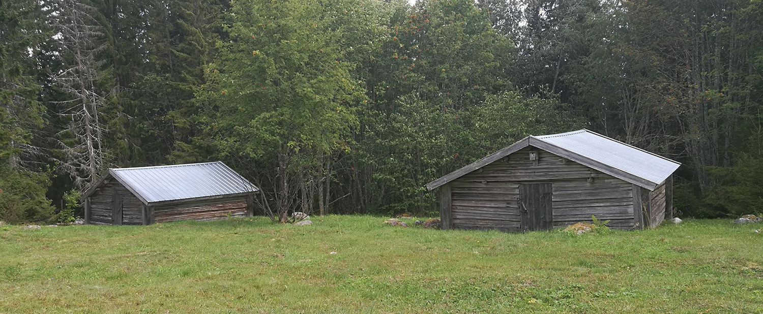
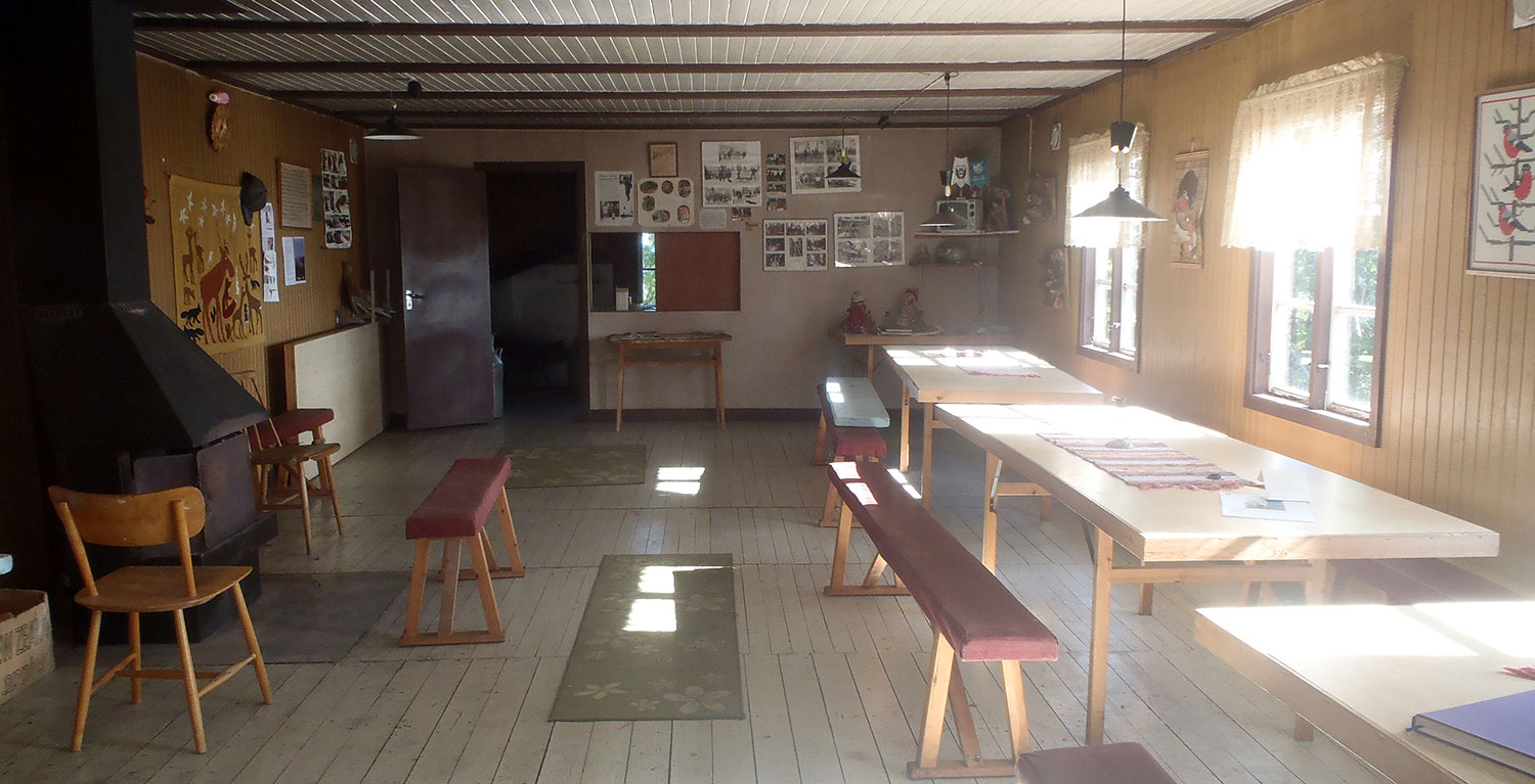
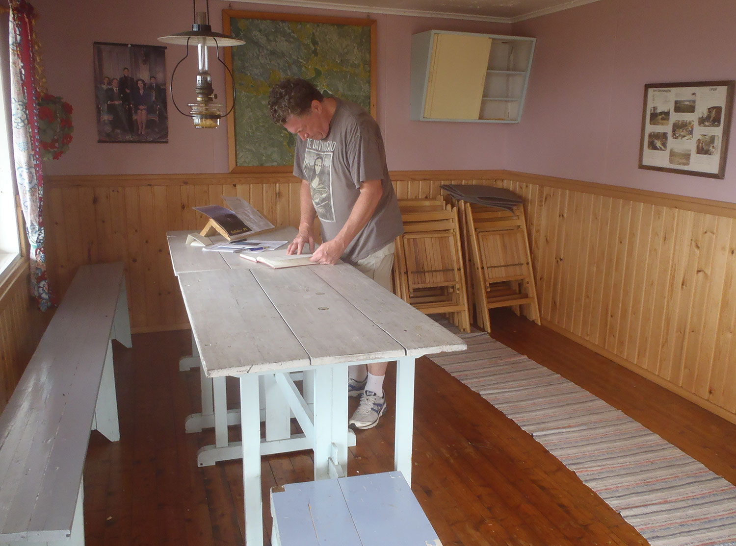
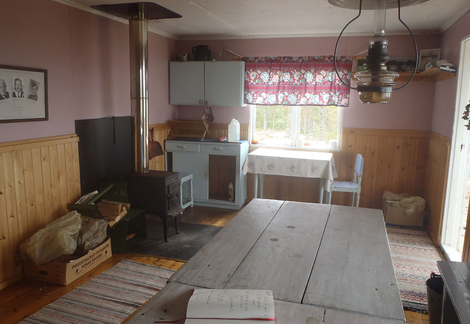
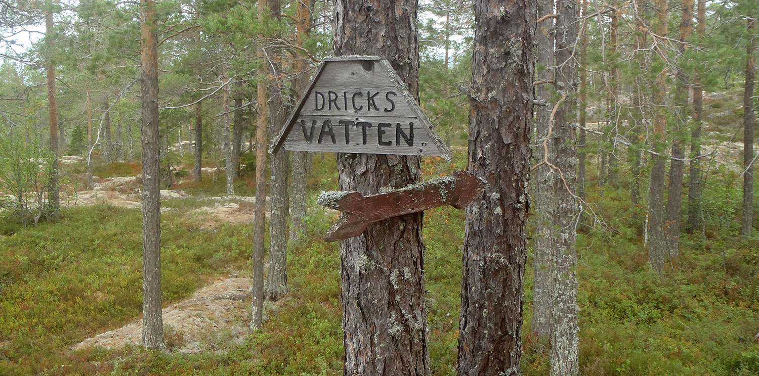
Vi har aldrig sett så många torra och nedfallna träd som på denna promenad. We have never seen so many dry and fallen trees as on this walk.Fähusen. The cattle houses.Kokhuset. The cookhouse.Inne i kokhuset. Inside the cookhouse.En titt ut genom kokhusfönstret. A glance out the cookhouse windowAll information man behöver/you need.På väg tillbaka ned igen. Heading back down again.
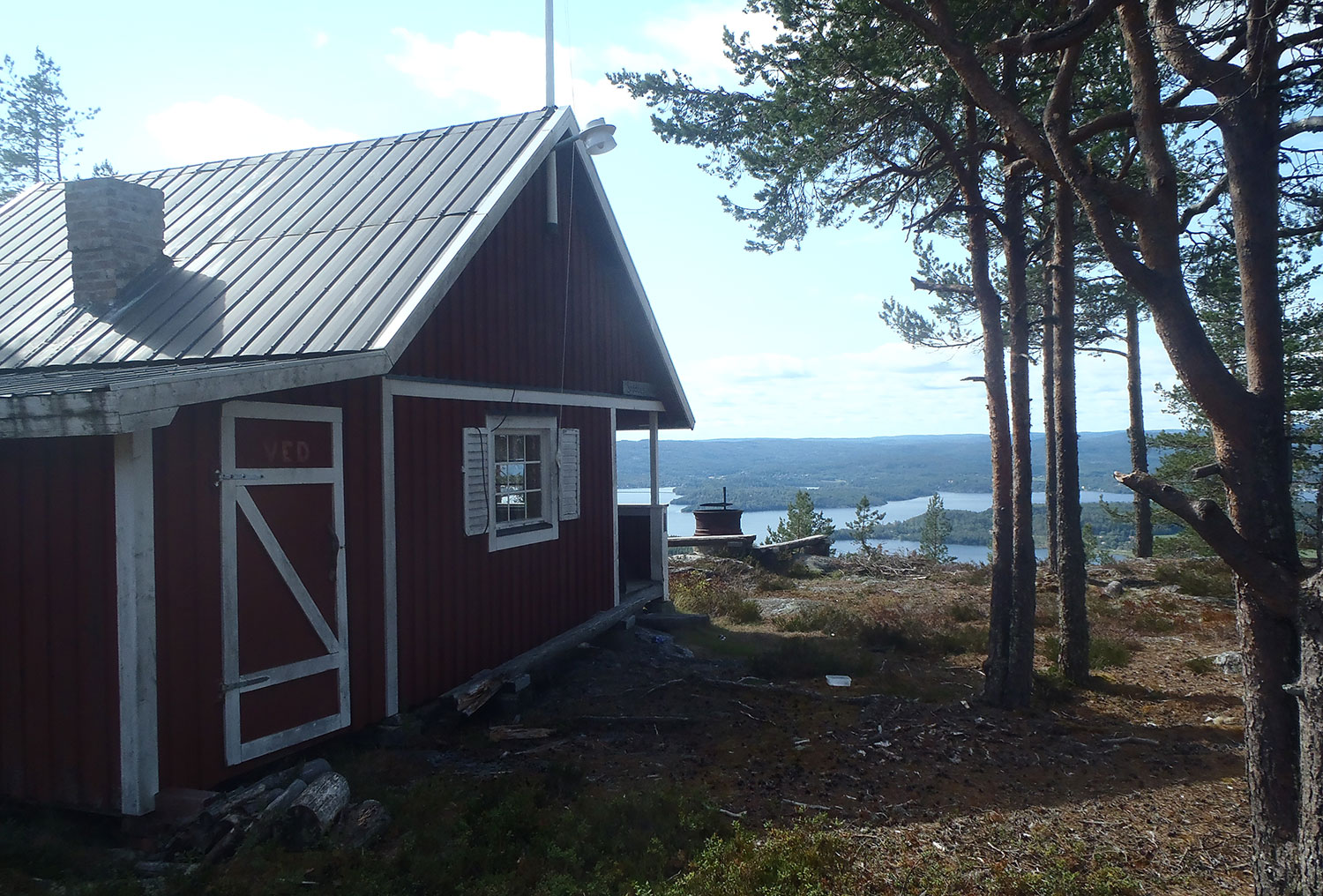
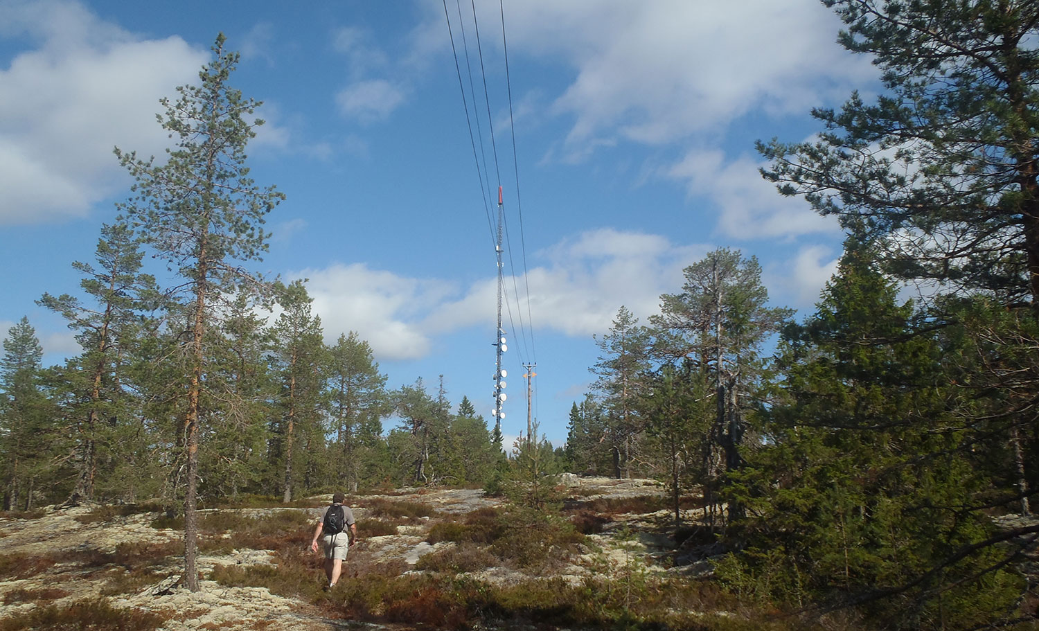
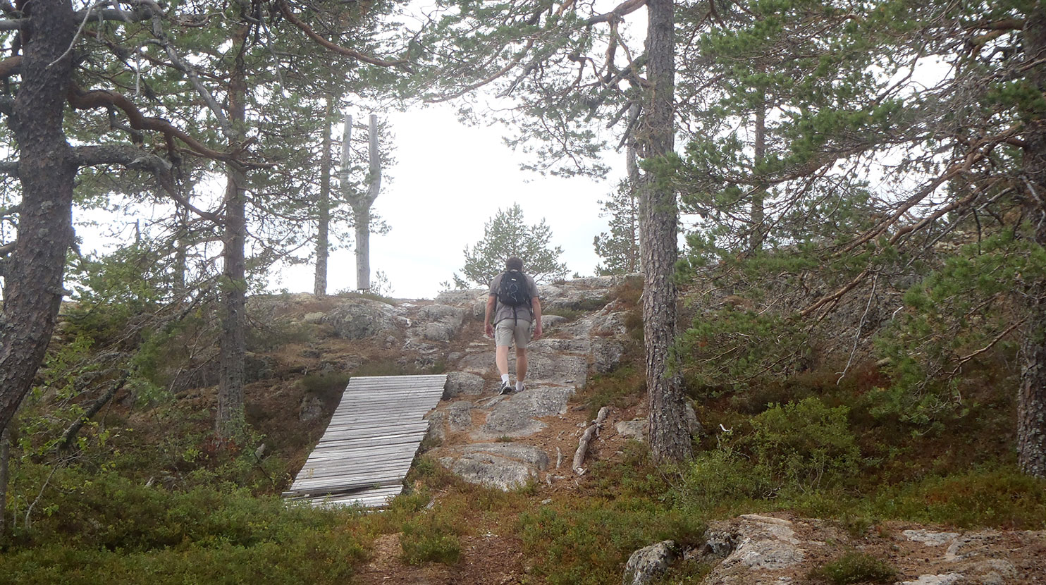
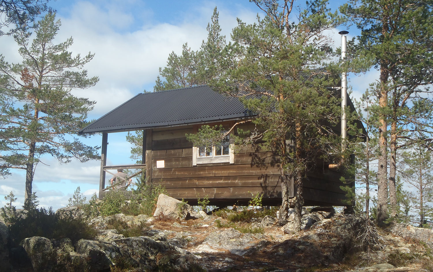
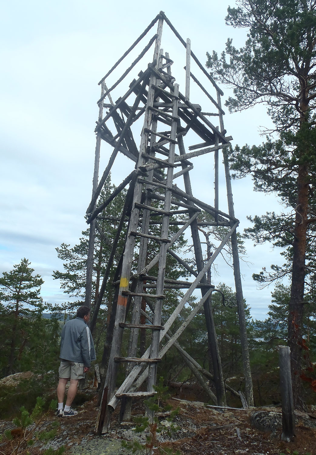
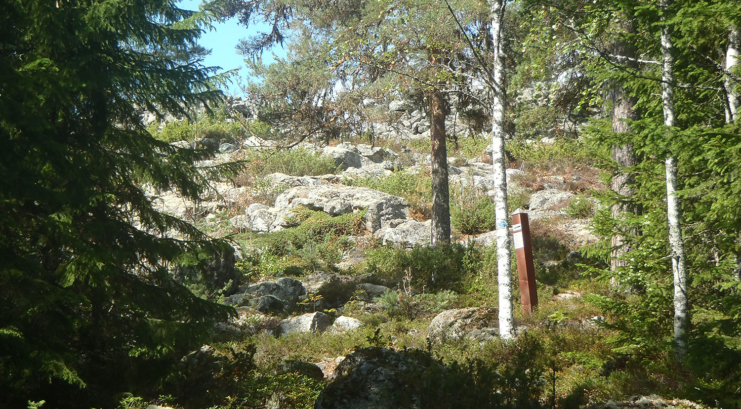
Vandringstips VIII: Snödåsberget i Bjärtrå. Sista på vår åttabergslista. En ganska lång men flack promenad och inte helt lätt att hitta rätt hela tiden. Men vi kom fram och fann en fin stuga med fin utsikt. Det vanliga i Ångermanland.
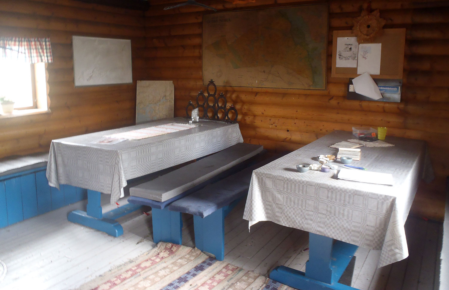
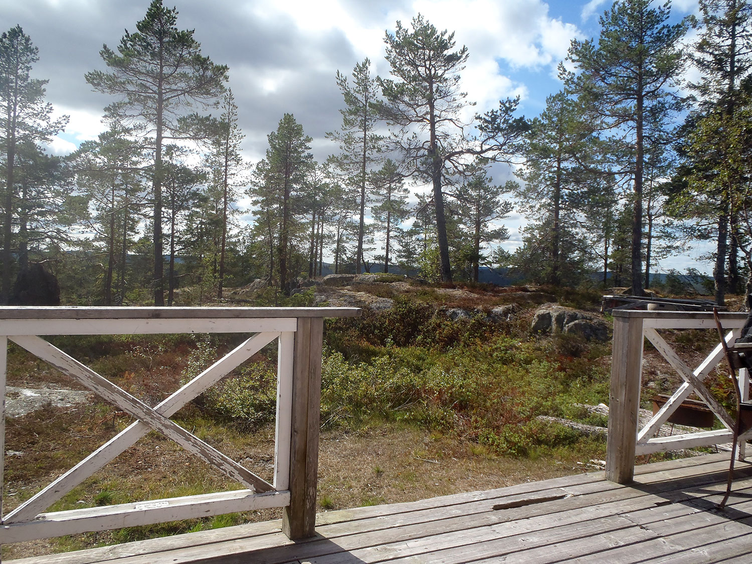
Hiking Tips VIII: Mt Snödåsberget in Bjärtrå. Last on our eight-mountain list. A rather long but flat walk and not quite easy to find the right way all the time. But we got there and found a nice cabin with a nice view. The common thing in Ångermanland.
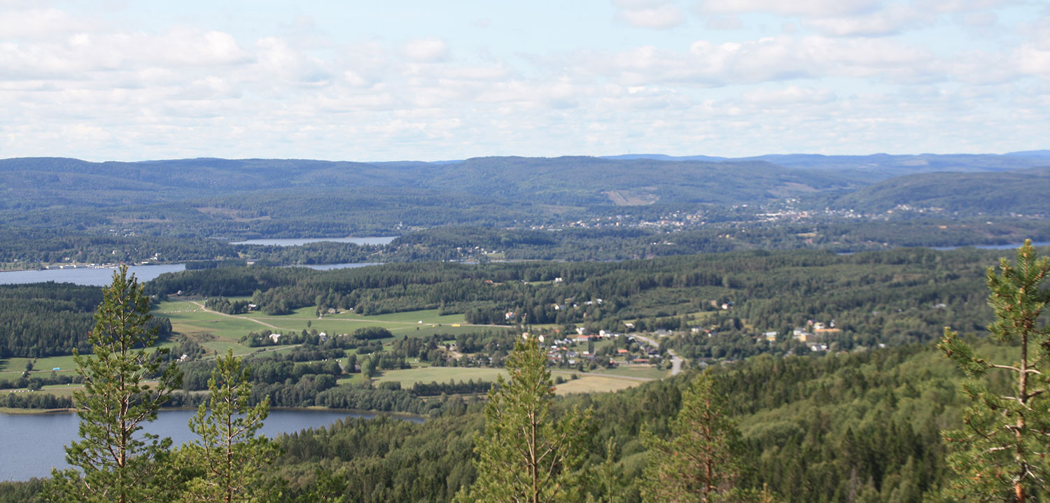
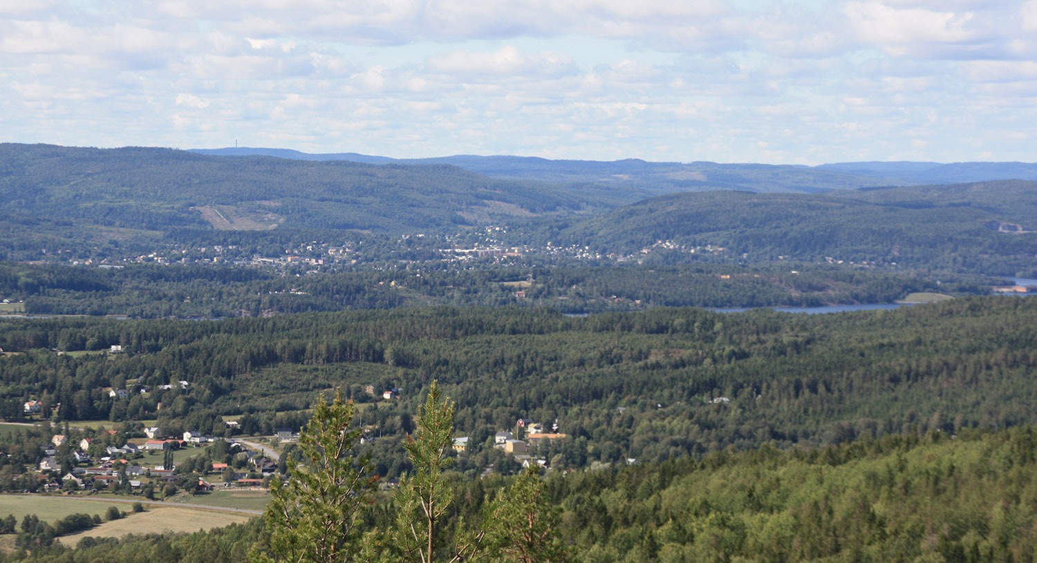
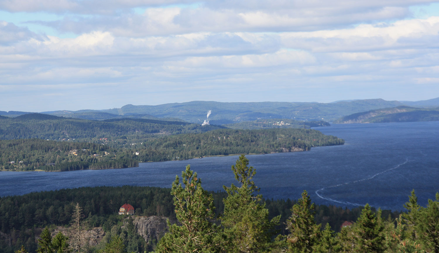
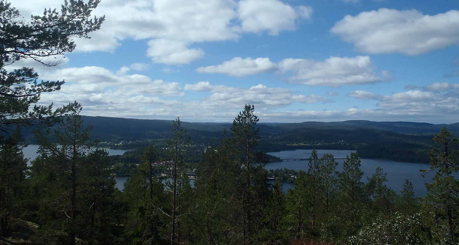
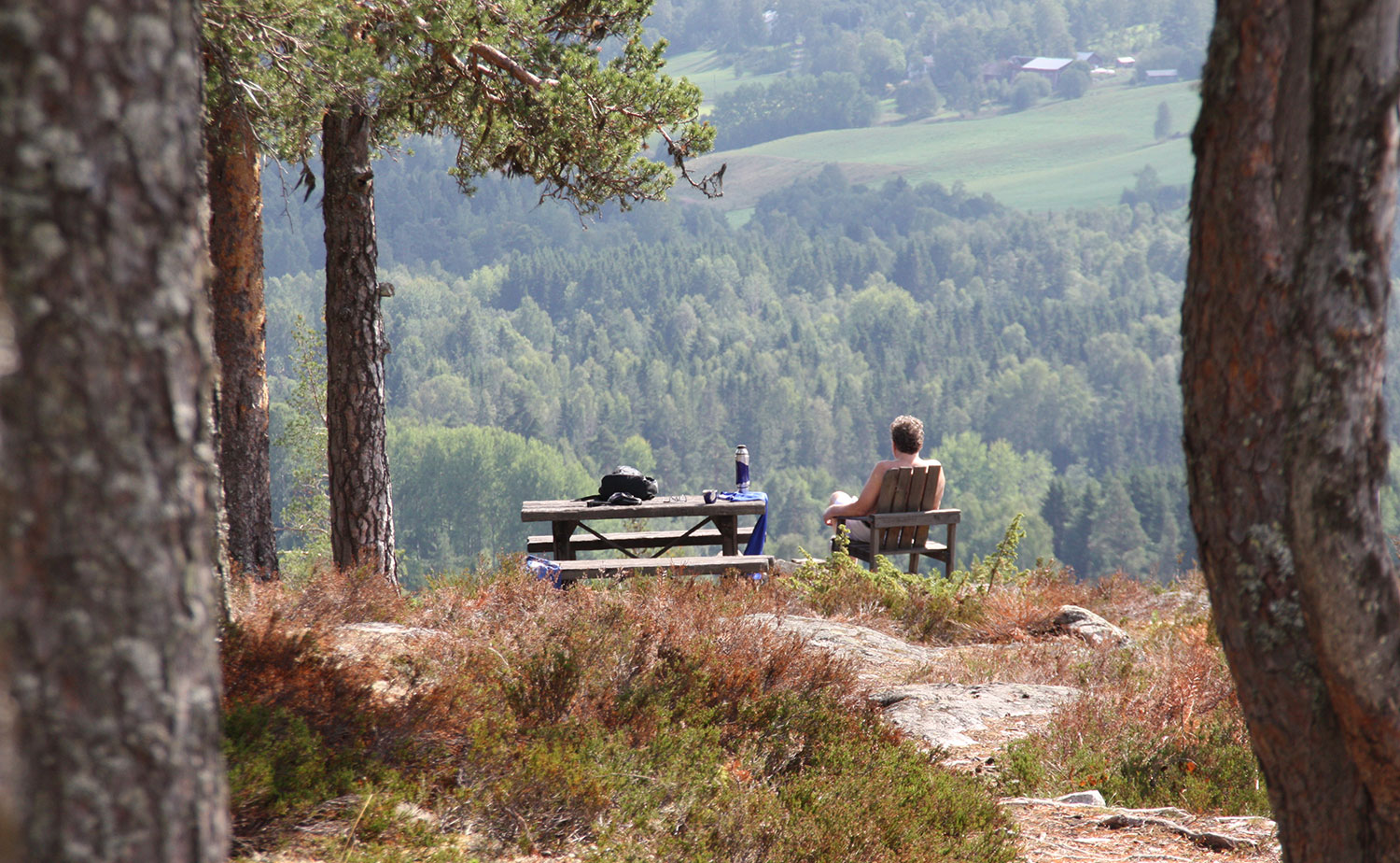
Inte så mycket uppför på denna promenad. Not so much uphill this walk.Stugan. The cabin.Stugans insida. The inside of the cabin.Och sedan var det utsikten… mest inland denna gång, men vilket inland! And then there was the view … most midland this time but what a midland!Mer utsikt. Därborta är Kramfors. More view. Overthere is Kramfors.En skymt av Sandöbron, Sveriges mest fotograferade bro? A glimpse of Sandö bridge, Sweden’s most photographed bridge?Vi gick tillbaka till utgångspunkten, d v s denna mast. We went back to the starting point, that is, this mast.
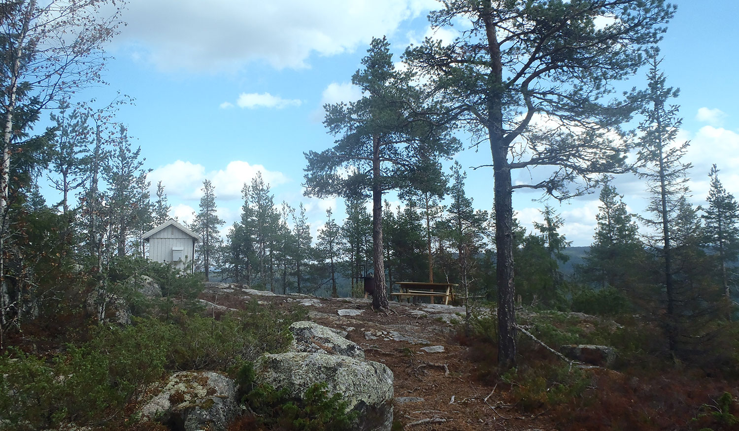
Tuäggen består av två bergstoppar. Vi passade på att besöka även den andra denna dag. Den är ett vintermål för skoteråkare och vi har faktiskt varit här en gång tidigare, då med skoter. Skogen omkring stugan har nog växt en del sedan dess. Och denna plats är inte lika väl omhändertagen som ”Tuäggen I”, mycket mer skräp.
Mt Tuäggen consists of two mountain peaks. We took the opportunity to visit the other one, too, this day. It is a common winter destination snowmobile drivers and we have actually been here once before, then with a snowmobile. The forest around the cabin has probably grown some since then. And this place is not as well taken care of as ”Tuäggen I”, much more junk.
Sista få stegen fram till stugan. Last few steps up to the cabin.Stugan. Trevlig att se på. The cabin. Nice to look at.Insidan av skoterstugan. Inside the snowmobile cabin.Utsikten hittar man på baksidan stugan, bakom en hel del träd. The view is found at the back of the cabin, behind a lot of trees.Trevlig liten farstubro. Nice little patio.Vi fick en mysig stund i solen på farstubron. We hade a cosy moment in the sun on the patio.
Vandringstips VII: Tuäggen. Vi startade rätt tidigt på morgonen och fick en fin promenad upp på detta berg där det finns en stor stuga och en alldeles strålande utsikt.
Hiking Tips VII: Mt Tuäggen. We started quite early in the morning and had a nice walk up to this mountain where there is a large cabin and a spectacular view.
Uppför, uppför, denna sommars mantra. Uphill, uphill, this summer’s mantra.Nu är vi nära. Now we are close.Den stora stugan. En solfångare försörjer den med el. The big cabin. A solar collector supplies it with electricity.Insidan. Tack vare solfångaren kan man titta på TV här, ganska unikt. The inside. Thanks to the solar collector you can watch TV here, quite unique.Utanför hittar vi detta sceneri. Outside we find this scenery.Höga Kusten-bron från en annan vinkel. High Coast Bridge from another angle.Naturresurserna står på rad. Natural resources are in line.
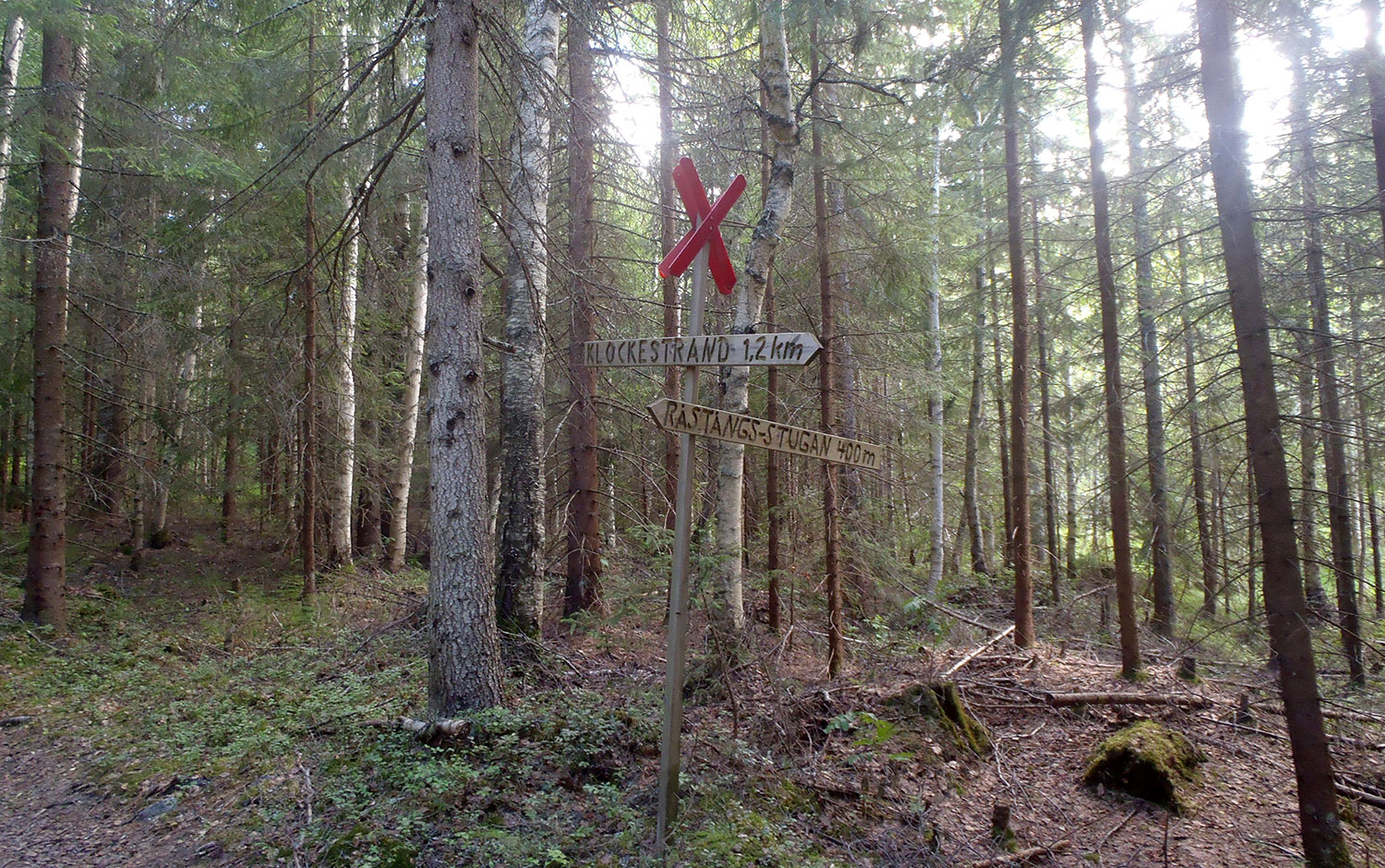
Vandringstips VI: Råstångsberget höjer sig över Klockestrand och blev det andra berget vi besteg denna dag. Brantare och längre promenad än upp på Hornöberget. Och – tycker vi – bättre utsikt även om man inte ser mycket hav. Fin liten stuga.
Hiking tips VI: Mt Råstångsberget rises over Klockestrand and became the second mountain we climbed this day. A steeper and longer walk than up on Mt Hornöberget. And – in our opinion – a better view even if you do not see much sea. Nice little cabin.
En varmare promenad nu, i solen. A warmer walk now, in the sun.Den lilla stugan. The little cabin.Först tittade vi in i stugan. Där fikar man med fin utsikt om det regnar. First we had a look in the cabin. There you can have coffee with a nice view if it rains.Utsikt mot Väja. Gult hus på Svanö i förgrunden. View towards Väja. Yellow house at Svanö in the foreground.Utsikt mot Sandö och bron till Svanö till höger. View towards Sandö and the bridge to Svanö to the right.På väg ner från berget igen. Vi är på rätt väg. On the way down from the mountain again. We are on the right track.
Vandringstips V: Hornöberget, Höga Kusten-brons norra fäste. Först gick vi fel väg – nu gjorde inte det så mycket eftersom vi hittade en geocache genom det. Här var utflyktsmålet var inte en stuga, utan ”bara” en utsikt.
Hiking tips V: Mt Hornöberget, the north abutment of the High Coast bridge. First we took the wrong way walking – that did not matter so much, though, since we found a geocache by that. Here the excursion target was not a cabin, ”only” a view.
Ett stopp på vår väg, vindkraftsnurran på Hornöberget. One stop on our route, the wind power station on Mt Hornöberget.En utsiktsplats, men inte vårt mål. A lookout point, but not our target.Trevlig plats men fortfarande inte vårt mål. Nice place but still not our target.Vi anar en utsikt. We sense a view.Nära målet, en mer påtaglig stigning. Close to the target, a more substantial climb.Till sist nådde vi målet, där vi så klart måste fotografera. Eventually we reached the target, where we obviously had to take photographs.Utsikten. The view.Sedan gick vi ner igen, mot ett av Ångermanlands finare landmärken. Then we went down again, towards one of Ångermanland’s finer landmarks.Den vackra Höga Kusten-bron. Måste fotograferas. The beautiful High Coast Bridge. Must be photographed.
Vandringstips IV: Gårdsberget i Gallsäter var lagom denna gråa mulna dag. Inte särskilt långt att gå, inte särskilt brant. Men en riktigt fin stuga och en helt ok utsikt. Vi hann precis ner från berget igen innan det började regna.
Hiking Tips IV: Mt. Gårdsberget in Gallsäter was just perfect this gray cloudy day. Not very far to walk, not very steep. But a really nice cabin and an absolutely ok view. We just got down from the mountain again before it started to rain.
Vi följde skoterspåret. We followed the snowmobile trail.Liten röd stuga. Little red cabin.Stugans framsida. The front of the cabin.Insidan. The inside.Insidan 2. The inside 2.Fina faciliteter. Fine facilities.OK utsikt. OK view.Mer utsikt. More view.Härifrån tittade vi på utsikten. This is from where we looked at the view.
Borgberget med Stensättersborgen ligger inte på vandringstipslistan, men eftersom vi var i närheten ville vi titta även på det. Det ångrar vi inte ett ögonblick! En ganska brant väg upp, men vilket mäktigt ställe!
Borgberget är en klippformation som stupar ca 200 m på tre sidor. Stensättersborgens mur är ca 3 m tjock och 200 m lång. Utanför muren finns lämningar som kan ha varit ytterligare en murlinje och även en gravlämning. Borgen tros ha byggts under folkvandringstiden, ca 400–800 EVT.
Mt. Borgberget with the Stensätter fortress is not on the hiking list, but since we were nearby we wanted to have a look at it. We don’t regret that for a moment! A rather steep trail up, but what a mighty place! Borgberget is a rock formation where three sides are precipices of about 200 m. The stone wall of the Stensätter fortress is about 3 m thick and 200 m long. Outside the wall there are remains that could have been a further wall line and also remains of a grave. The fortress is believed to have been built during the time of the Great Migration, about 400–800 AD.
Om Borgberget. Startplatsen har flera skyltar med mycket information. About Mt. Borgberget. The starting point has many signs and lots of information.Ytterligare information på vägen upp. Even more information on the way up.Den stora muren! The great wall!Nära öppningen. Close to the entrance.Muren från sidan. The wall from the side.Muren från ovansidan. The wall from the top-side.Utsikt ”inifrån borgen”. View from ”inside the fortress”.Runt och bakom berget finns mest skog men även ett gammalt stenbrott. Around and behind the mountain there is mostly forest, but also an old quarry.En vilostund innan vi går ner igen. A breather before we go down again.En idé om hur det kan ha sett ut – från en av skyltarna vid stigens början. An idea of how it might have looked – from one of the signs at the beginning of the trail.
Vandringstips III: Svedjeberget i Bollstabruk blev nästa berg på vandringstips-listan att bestiga. En behaglig promenad upp på berget och även här en hänförande utsikt, men nu mer inlandsmässigt. Fast så klart finns ändå kopplingen till havet även på Svedjeberget!
Hiking Tips III: The Svedjeberget mountain in Bollstabruk was the next mountain on the hiking tips list to climb. A pleasant walk up the mountain and here too a breathtaking view, but now more inland. But of course there is a connection to the sea even from Svedjeberget!
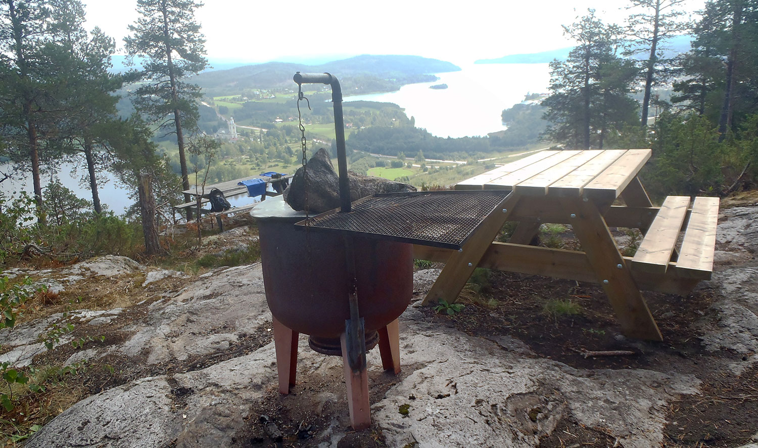
Startpunkten. The starting point.Vi vet att vi är på rätt väg. We know we are on the right track.Där är utsiktspunkten. There is the viewpoint.Välordnat med både bord och grill. Men i år grillar vi inte. Well-arranged with both tables and a BBQ-grill. But no BBQing this year.Det finns t o m ved att tillgå. Fast i år behövs som sagt inte den. There’s even firewood. But as said, this year that is not necessary.Vi tittar på utsikten över Ytterlännas kyrka i stället. We look at the view of the Ytterlännäs church instead.